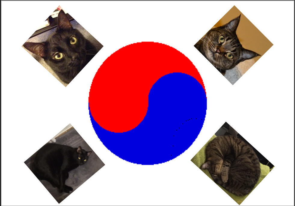
Kitties in Korea
WE HAVE MOVED BACK TO KOREA!
We now have a YouTube channel
Instagram is brittanyandcasey_korea
https://www.youtube.com/channel/UCiZiWalNWdDHGYL8OYtJtDg
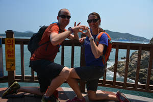
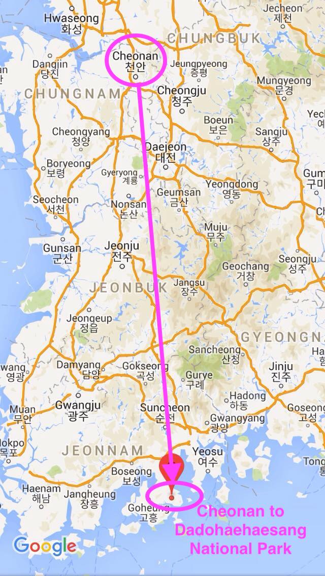
Yeosu, South Korea
|
 Kitties in Korea Kitties in Korea
|

Busan, South Korea, Shinsegae Jjimjilbank
|